Ribeira Brava: From Historic Roots to the Storm That Shaped Its Future
Where a wild river carved a legacy of resilience and revival.

Good To Know
Early settlement and agricultural roots
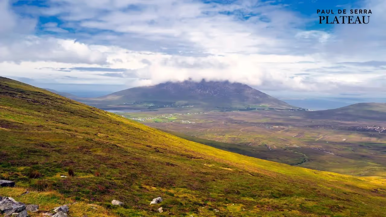
The municipality of Ribeira Brava lies on the southern coast of Madeira at the mouth of a steep, fertile valley where a stream known as the “wild river” once flowed unrestrained into the Atlantic. When Portuguese explorers João Gonçalves Zarco and Tristão Vaz Teixeira discovered Madeira in 1419 they quickly realised the productive potential of the sheltered valleys along the island’s south coast. Ribeira Brava was among the first areas to be settled and, by the mid‑15th century, it had become one of the island’s earliest parishes. The fertile volcanic soil supported cereal crops at first, then the colony switched to the lucrative sugar‑cane cycle in the mid‑15th century, and later to vineyards and bananas. Sugar cane introduced by Infante Dom Henrique in 1425 transformed the island’s economy; profits from this trade helped build churches and palaces and brought wealth to the inhabitants. Ribeira Brava’s gentle valley became a patchwork of terraces where settlers cultivated sugar cane and cereals, and the river provided water for the levada irrigation channels that still traverse the mountains.
As sugar cultivation expanded, Ribeira Brava developed a small harbour where wooden boats could load barrels of sugar, molasses and local wine for export. Goods from the interior were transported along the river to the coast, making Ribeira Brava an important commercial centre by the 16th century. Farmers also grew bananas and sweet potatoes, and the mild micro‑climate of the south‑west coast allowed year‑round cultivation of subtropical fruits. Over time a mercado municipal (municipal market) emerged at the heart of the town where peasants sold crops, honey and the dark bolo de mel cake that is still baked in the area. The port’s prosperity attracted outsiders, including corsairs, prompting fortification of the coast.
Cultural heritage and fortifications
The settlers built a small chapel dedicated to Saint Benedict in the 15th century. As the population grew, this modest chapel evolved into the São Bento Parish Church, one of Madeira’s oldest religious buildings. The church we see today is a mix of Manueline, Mannerist and Baroque architecture that developed through multiple renovations. Its interior houses 16th‑century paintings and silverwork, including a reredos carved in gilded wood and an image of Our Lady of the Rosary that was reportedly found adrift at sea and carried to the church by locals. The church became a cultural anchor for the community, marking baptisms, marriages and festivals while also acting as a refuge during storms.
In the early 18th century, pirate raids threatened the Madeiran coast. To protect the busy anchorage at Ribeira Brava, Governor Duarte Sodré Pereira ordered construction of the São Bento Fort in 1708. The fort was a small circular tower with a terrace and embrasures for cannons. Its presence helped deter corsairs and signalled the town’s importance as a harbour. Unfortunately, the fort’s strategic location on the river mouth made it vulnerable to natural forces. In October 1803, torrential rain caused a catastrophic flood that swept through the valley, destroying homes, mills and much of the existing fortification. The 1803 deluge was so severe that contemporary accounts claimed more than 500 people were swept out to sea and much of the year’s wine crop was lost. The original 16th‑century fort dedicated to Saint Sebastian was ruined, and the 1708 tower suffered significant damage. A restoration was finally undertaken in 1916, recreating the circular tower with a crenellated terrace that today houses a tourist information office.
Another noteworthy heritage site in Ribeira Brava is the Madeira Ethnographic Museum, housed in a building that once belonged to Funchal’s Santa Clara convent. By the mid‑19th century the property had become an industrial complex: an animal‑powered sugar‑cane mill and brandy distillery were installed there in 1862. This industrial heritage reflects how important sugar and spirits were to the local economy. After several decades of use the building fell into disrepair and was eventually acquired by the autonomous district council. In 1996 it opened as the ethnographic museum, with displays on traditional farming, transport and crafts. The museum’s collection allows visitors to understand everyday life in Ribeira Brava before modernisation, from fishing equipment and loom‑woven textiles to tools used in grape treading and sugar processing.
The “wild river” and flood vulnerability
Ribeira Brava’s name literally means “angry” or “wild river”, a reference to the stream that descends from the island’s central massif through a narrow ravine before emptying into the sea. For most of the year this watercourse is a tranquil brook, but heavy rainfall can transform it into a torrent carrying boulders, tree trunks and mud. The early settlers recognised both the river’s life‑giving importance and its destructive potential. They built terraces along its banks and dug levadas to divert water to their fields, but they also witnessed how quickly storms could unleash devastation. Accounts from the early 19th century describe the 1803 flood ripping houses from their foundations and sweeping residents and livestock into the sea. Despite the destruction, the community rebuilt and continued living close to the river, often encroaching on flood‑prone areas because flat land was scarce.
Madeira’s geology and climate intensify the risk of flooding. The island is mountainous, with steep valleys that funnel rainwater rapidly towards the coast. There are few wide plains where runoff can dissipate; instead, water flows down narrow ravines, eroding slopes and carrying sediment. Studies of the island’s natural hazards note that landslides and flash floods have plagued Madeira since at least the 19th century. Between 1803 and 2010, more than 30 major storms struck the island. A summary of historical disasters lists a 1920 flood that affected Funchal, Ribeira Brava and Camacha, causing five deaths, followed by events in 1929, 1939 and the 1950s. Two mid‑20th‑century storms particularly impacted Ribeira Brava and the neighbouring parish of Serra de Água: in January 1963 a flood killed five people and in January 1970 another flood took four lives. These episodes were typically characterised by sudden, violent floods carrying large amounts of debris.
Development along the narrow floodplain increased vulnerability. In the 20th century, as the population grew and tourism developed, more houses, shops and roads were built along the river. Some of these structures were erected illegally or without consideration of flood risk. Deforestation on the slopes above Ribeira Brava, combined with agricultural terracing, reduced the landscape’s ability to absorb heavy rainfall. These factors set the stage for the catastrophic event of 2010.
The February 2010 catastrophe – causes and meteorological context
On 20 February 2010 Madeira experienced one of the most severe natural disasters in its modern history. During the early morning hours a depression over the North Atlantic moved south of the island, bringing exceptionally heavy rainfall. At Pico do Areeiro, a weather station 1 510 m above sea level, 272.1 mm of rain fell in six hours—the highest recorded in Portugal. In Funchal, the capital located downwind of the peak, 111.5 mm of rain fell in the same period. The torrent of water cascaded down steep slopes, saturating soils that had already been soaked by weeks of winter rains. By mid‑morning, runoff overwhelmed the narrow ravines and watercourses, particularly those draining into Funchal and Ribeira Brava.
Meteorologists later explained that the storm resulted from a sequence of events: heavy precipitation during the night of 19–20 February followed by sea‑level rise and high waves, which prevented rivers from discharging efficiently. As water backed up, it carved new channels and unleashed mudslides. The European Severe Storms Laboratory recorded peak discharge in the Ribeira Brava river at 663 m³ s‑1, an exceptionally high flow that forced the stream out of its channel. A systematic survey documented 5 172 landslides in the Ribeira Brava sector alone. These landslides added massive volumes of rock and debris to the floodwaters, increasing their destructive power.
The Portuguese Meteorological Service had issued yellow and orange precipitation warnings the day before, escalating to a red warning at 10:03 UTC on 20 February when rainfall intensified. However, the severity of the event surpassed expectations, and emergency services were quickly overwhelmed. The island’s steep topography meant that water rushed downstream within minutes, leaving little time for evacuation.
Human impact and destruction in Ribeira Brava
As the storm intensified, Ribeira Brava’s normally placid river transformed into a roaring brown mass that surged through the town. Eyewitnesses recalled water and mud flowing knee‑deep through streets, carrying logs, tree trunks, cars and household items. Bridges and retaining walls were undermined; some collapsed later as floodwaters eroded their foundations. Residents desperately placed boards and logs across doorways to divert the current away from their houses. The sea at the river mouth turned a thick coffee colour as mud and debris poured out, and logs floated offshore for weeks. In upland villages such as Serra de Água, landslides destroyed hillside homes and blocked access roads.
Casualty estimates vary among sources, but all agree that the 2010 flood was the deadliest hydrometeorological catastrophe to hit Portugal in decades. A detailed study of the disaster in the journal Natural Hazards and Earth System Sciences recorded 45 deaths, including 22 in Funchal, with another six people missing. A list of major flash‑flood events confirms that Funchal and Ribeira Brava were the most affected localities. The regional civil protection service later reported 47 fatalities, four missing persons, 600 displaced and 250 injured. The European Investment Bank, which financed reconstruction efforts, noted 49 deaths, 250 injuries and 650 homeless. The Reuters news agency, reporting on 21 February 2010, mentioned 42 confirmed dead, at least four missing, 120 injured and 240 people who lost their homes. Local newspapers described the disaster as Madeira’s worst catastrophe in a century.
Beyond the human toll, the flood caused enormous economic damage. Businesses were buried under mud and rocks; vehicles were crushed; water supply systems and sewage networks were destroyed. Landslides destroyed the levadas that carry water to agricultural terraces. Debris blocked roads and tunnels, isolating villages for days. The NASA Earth Observatory noted that steep ravines funnelled water and rocks straight into towns such as Ribeira Brava, and that at least 42 people were dead and 13 missing within days. Mud and rocks piled up to four or five feet deep on Funchal’s streets, and similar scenes occurred in Ribeira Brava. Local authorities estimated that the disaster caused US $1.9 billion in damage. The Water‑catastrophes in Madeira report put the price of reconstruction at €700 million, noting that it took ten years to rebuild Funchal and Ribeira Brava.
The flood also exposed social vulnerabilities. Many of the destroyed homes were built on riverbanks or steep slopes, sometimes without proper permits. Deforestation and urbanisation had reduced natural absorption and increased runoff. Survivors described feeling helpless as they watched walls crumble and roads disappear, and they praised the solidarity of neighbours who risked their lives to save one another. The regional government declared three days of mourning, and national authorities sent military and rescue teams. Within days, hundreds of volunteers joined the cleanup, shovelling mud and carrying debris away by hand.
Response and reconstruction
The tragedy of February 2010 spurred a concerted response from both local authorities and international partners. Emergency operations initially focused on rescuing trapped residents, restoring road access and preventing disease outbreaks. As the scale of destruction became apparent, the European Investment Bank (EIB) granted a framework loan to finance long‑term reconstruction. The EIB story on Madeira’s rebuilding recounts how the funding supported more than 60 projects: forest replanting to stabilise slopes, construction of retention and slit dams to capture sediment, redesign of drainage channels, repair of roads and bridges, and rebuilding of water‑supply and sanitation systems. Engineers constructed solid slit dams in the streams above Funchal and Ribeira Brava to trap boulders and allow only water to pass, reducing the risk of future debris flows. New early‑warning systems were installed to monitor rainfall, river levels and landslides, sending alerts via sirens and mobile networks. Drainage channels were deepened and lined with concrete to handle greater flows, and illegal constructions in floodplains were removed.
These interventions aim not only to repair damage but also to make Ribeira Brava more resilient to future storms. Retention basins upstream can hold back debris and muddy water long enough for evacuation; reforestation projects help anchor soil and regulate runoff; and the early‑warning system provides critical lead time for residents to seek safety. The El País newspaper reported that EU‑funded retention dams and reforestation reduced flood risk by about 60 percent and gave residents confidence that a similar disaster would not recur. By 2016, major reconstruction projects were completed, though smaller works continued for several years. However, the risk remains; experts emphasise that climate change may bring more intense storms, and careful land‑use planning is essential.
Contemporary Ribeira Brava and memory of the flood
Today, Ribeira Brava has largely recovered its picturesque appearance. Visitors arriving by road from Funchal descend into a valley filled with banana plantations and vineyards. The town centre has been rebuilt with a seafront promenade, restaurants and a pebble beach where families swim. A small rectangular lighthouse, built in the 1930s on a rocky spur east of town, guides fishermen and hints at the area’s maritime history. The municipal market still bustles with activity, and the newly renovated São Bento Fort—now painted yellow—houses the tourist information office where travellers can learn about local attractions. From the Miradouro São Sebastião or the Miradouro da Terra Grande, visitors enjoy panoramic views over the valley and ocean. Hiking along the Levada do Norte or up to Pico Areeiro reveals waterfalls and laurel forests, reminders of the island’s natural beauty.
Yet the memory of the 2010 flood endures in the community’s collective consciousness. Memorial plaques in the town record the names of those who died, and residents speak of the disaster as a turning point. The experience fostered a culture of preparedness; schools now conduct evacuation drills when heavy rain is forecast, and families have developed plans to seek higher ground quickly. The event also strengthened social bonds: volunteers who worked side by side during the cleanup forged lifelong friendships. While the rebuilt river channel and retention dams have tamed the “wild river,” the people of Ribeira Brava remain aware of the delicate balance between human settlement and nature. Annual festivals such as São Bento’s feast day and the Festival da Canção now include moments of remembrance for those lost in 2010.
Conclusion
Ribeira Brava’s story is one of resilience. From its beginnings as a 15th‑century farming settlement carved out of thick laurel forest, it grew into a bustling port exporting sugar, wine and bananas. The town survived pirate raids, the devastating 1803 flood, mid‑20th‑century storms and the catastrophic 20 February 2010 flash flood. Each disaster left scars but also led to improvements—first in fortifications, later in infrastructure and, most recently, in early‑warning systems and land‑use planning. Today Ribeira Brava stands as a reminder that communities can adapt to and learn from natural hazards. Its restored church, rebuilt fort, ethnographic museum and thriving market welcome visitors, while the river flowing through its centre—though now channelled and monitored—continues to shape the landscape and the lives of those who call this valley home.
Highlights
The only pass you need in paradise
BANANA JOE SAVES THE DAY!
Episode 1: The Blocked Levada
A huge boulder has blocked the levada. Farmer Manuel's banana plants have no water!
MADEIRA NEEDS
YOUR HELP!
Are you ready to save the levada?